After a prolonged period of dry weather in Ireland earlier this year, autumn has brought record rainfall due to rising sea temperatures.
Spring and summer were drier than normal across the country, with drought conditions in the south and east. However, the dry period was followed by an autumn which has been phenomenally wet in some places.
Valentia Observatory in Cahersiveen, Co Kerry, which records more rainfall than any other weather station in Ireland, has already recorded its wettest autumn since records began with two days left in the month.
To date, 737.4mm of rain has fallen in September, October and November. That beats the record of 728.3mm recorded in 2000. It is also the second wettest November on record there with 322.2mm of rainfall so far this month. The record was set in 2009 with 345.4mm.
READ MORE


The amount of rainfall recorded in Cahersiveen is almost three times as much as has been recorded at Casement Aerodrome station in Dublin this year (262.8mm). Dublin is experiencing a drier autumn than average, with just 45.8mm of rain in November to date.
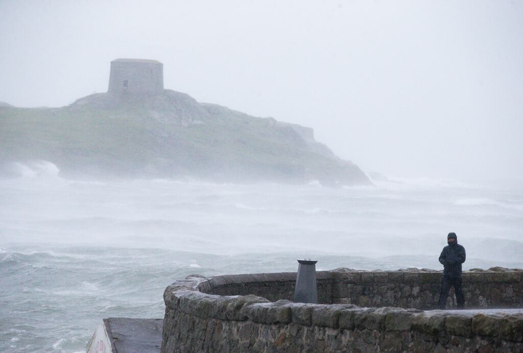
Other places, though, have not been so lucky. There have been multiple flood warnings in Cork City, an area which has also had an exceptionally wet autumn.
Met Éireann’s head of forecasting Evelyn Cusack said the current weather was being driven by the “relentlessness” of the sea temperatures which are several degrees warmer than they should be for the time of year, leading to a long spell of southwesterly winds over the country.
“When the air passes over the sea it picks up moisture. Sea temperatures are higher all around Ireland. We can have winds from all directions, but the winds from the southwest have been unrelenting. The winds have been persistently coming from that direction,” Ms Cusack said.
This leads to what meteorologists call “orographic lifting” at the Macgillycuddy Reeks when moist rising air starts to cool at altitude, condenses and falls as rain. By contrast, Dublin is in the rain shadow of the Dublin and Wicklow Mountains and is the driest place in Ireland.
This effect has been most notable this autumn, said Ms Cusack, because of the consistency of the wind direction. Record-breaking temperatures in Europe during the summer kept the seas warm and they have not cooled down the way they are supposed to at this time of year.
Ms Cusack said there have been dangerous heatwaves across Europe this year and the temperature reached 40 degrees in England for the first time. She said Ireland was spared these extremes because it is surrounded by water which has a cooling effect.
“Worldwide the last few years and this year have been incredibly challenging and it has been put down completely to climate change,” she said. “We are very fortunate to be in the position we are in. We could eventually get some heatwaves from Europe, but it is hard to ever see 40 degrees in Ireland.”
Met Éireann’s seasonal forecast for winter, which starts this week, is for a slightly warmer than average season with near average rainfall for Ireland. However, the immediate forecast for the month suggests that a Scandinavian blocking high will bring high pressure over the country leading to colder and drier than average conditions for the month.


