
An irritating toy to some, an essential business tool to others, drones are now being used to gather valuable data in a variety of areas. “Commercial users prefer to use the term UAV – unmanned aerial vehicle,” says Ray Murphy, chief executive of Murphy Surveys.
“Their use is becoming increasingly popular. In agriculture, they can be used to capture relatively large areas to measure things like crop growth, health, and to count plants. You can programme them to fly with almost no human intervention and you can fit various sensors and different multi-spectral and thermal cameras to them depending on what data you are looking for.”
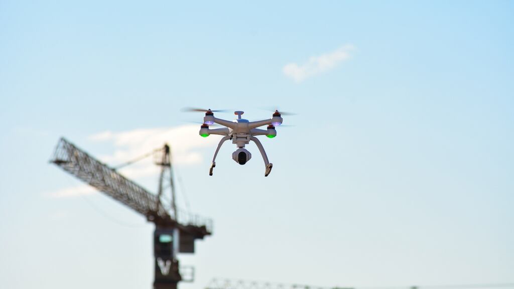
In the construction sector, one of their main applications is the monitoring of activity on site. “You need updates on progress on any construction project,” Murphy says. “From a health and safety point of view, it can be used in a Big Brother kind of approach to ensure that people are wearing their safety hats.”
They are also very valuable for infrastructure projects. “They are very useful for capturing the intended routes. For example, they can be used for 3D mapping of the intended route of a new water main. They have the added benefit of supplying pictures and not just maps and this makes them much easier to read.”
Cost savings are also significant. “At the reconnaissance stage, they can be used as an online platform to allow professionals to walk a route virtually. This would normally involve a lot of boots on the ground and UAVs can save all that.”
They can also be used to measure progress on large infrastructure projects like roads and they are also coming into their own for the inspection of existing pieces of infrastructure. In the past, inspecting the underside of a rail or road bridge required closing it in at least one direction while heavy lifting equipment was used to hang an inspection gantry or camera below the structure. Now a UAV can be used to examine it as often as the owner wishes, at very little cost.
Similarly, inspecting the exteriors of masts or tall buildings no longer involves a human hanging on ropes in potentially dangerous situations – the drone can do it all.
Flood response
Dr Conor Cahalane of the National Centre for Geocomputation at Maynooth University sees an increasing role for satellite technology due to some recent developments which have seen the launch of new satellites offering free data to users as well as increased access to other satellites.
One particular use for this is flood response. “The Sentinel 1 satellite uses radar and can see through clouds,” he says. “It looks to see how rough the ground is. Smooth ground comes out dark in the pictures and rougher ground is progressively brighter. That’s key to flooding as water shows up as a smooth dark surface. During the flooding of 2015, we might have had to wait 20 days for a normal satellite picture with no cloud cover. This satellite could take it straight away through the clouds.”
Membership of the European Copernicus consortium also gives Ireland access to additional free satellite data in emergency situations. Once an emergency is declared, users here can access the free service. "This will enable us to get rapid mapping updates up to twice a day and this could be hugely helpful in disaster situations," Cahalane explains.
Construction applications include large-scale mapping and town planning while agriculture is about to get a boost with the imminent launch by the European Space Agency of the Flex earth explorer mission which will be able to monitor plant health and growth in real time. "It will be able to monitor fluorescence and photosynthesis in real time and provide very valuable information to farmers and agriculture research organisations like Teagasc. "


