Met Éireann has warned of a "very serious weather event" this week with snow drifts of more than a metre in places.
There is a likelihood of red weather warnings in places as a combination of freezing cold and strong winds could bring snowfall to the country not seen since January 1982.
That year, the country was brought to a halt with 10 days of blizzard like conditions which cut off many isolated locations.
Cold snap coming this week, from Tuesday. The Government’s Task Force will meet tomorrow morning to assess the situation. Please listen out for updates and take care. Some disruption is likely.
— Leo Varadkar (@campaignforleo) February 25, 2018
Everyone's talking about the #BeastFromTheEast. This short silent film explains what it is pic.twitter.com/YWo5G2ZctO
— Met Office (@metoffice) February 22, 2018
The so-called “beast from the east” is likely to bring widespread disruption to the country for the next week and there is no end in sight to the unseasonable weather.
The Government's National Emergency Co-ordination Group for Severe Weather will meet on Monday morning.
Taoiseach Leo Varadkar tweeted on Sunday: “Cold snap coming this week, from Tuesday. The Government’s Task Force will meet tomorrow morning to assess the situation. Please listen out for updates and take care. Some disruption is likely.”
Snow will start to fall on Monday as flurries and will then get more frequent on Tuesday, before becoming widespread across the country by Wednesday.
Met Éireann forecaster Joanna Donnelly said there is a danger that the dry, bright conditions this weekend will lull people into a false sense of security about what is to come.
“It is hard to believe looking out the window and seeing it is a beautiful day that this is a progressive thing. Each day is going to get worse,” she said.
Snow will start to fall on Monday as flurries and will then get more frequent on Tuesday, before becoming widespread across the country by Wednesday.
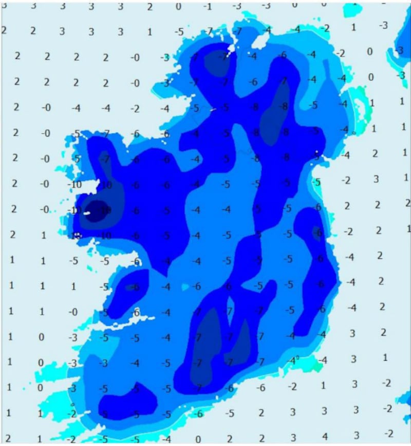
With daytime temperatures struggling to go above freezing and falling to minus 8 at night, Ms Donnelly says snow that falls will stay on the ground.
In places these heavy accumulations will begin to drift because of the strong winds on Thursday.
Cold polar air
The cold snap is being caused by an area of cold polar air which will settle over western Europe and is bringing with it strong winds, which will drive moisture from the North Sea and Irish Sea over Ireland.
“Usually in these scenarios, these showers expend their energies over Great Britain, but these showers are carrying on through and they will pick up again over the Irish Sea,” she explained.
“If you have a long enough fetch over the sea, the showers can get more energy. It will hit the east coast early in the week, extending nationwide as the week goes on.”
In addition, southerly winds, which usually bring warm, moist weather and winter showers will hit the cold air bringing “buckets of snow” to the south of the country, she forecast
The nature of the weather system means that it is slow moving and the big freeze will last into next weekend at the earliest.
“The only good thing that we have in our favour is that it is the start of spring. The tilt of the Earth means that we will becoming closer to the sun. The days will get longer so it can’t last that long,” Ms Donnelly said.
Roads and schools
Minister for Transport Shane Ross said there are sufficient stocks of salt with the local authorities and the three motorway maintenance contractors to cope with the oncoming disruption.
“Transport Infrastructure Ireland and public transport companies all have severe weather plans in place and these will be activated as required. The department has been in contact with all relevant authorities since last Friday,” he said.
Dublin City Council said its roads gritting crews are on standby to salt 300km of street networks covering national, regional and bus routes. In a statement it said the council’s road divisions will be implementing its winter maintenance plan covering severe snow and ice.
Louth County Council has also outlined that it will treat all roads in the county from Monday morning.
The Department of Education announced that schools nationwide will remain open on Monday and the decision to close after that will be left to individual schools.
It added: “The Department is continuing to monitor the situation nationwide and will follow any advice from the National Emergency Coordination Group.”
The group last convened in December. It is led by the Department of Housing, Planning and Local Government which is the principal government agency dealing with weather emergencies.
Rough sleepers
The Minister for Housing, Planning and Local Government Eoghan Murphy said all local authorities have been asked to ensure they have made contingencies for rough sleepers.
In Dublin, the Dublin Region Homeless Executive has secured an additional 84 beds and “one night only” beds will remain open on a 24 hour basis. Two outreach teams will be working on the streets to encourage rough sleepers to come into shelter.
Political director with the Social Democrats Anne-Marie McNally has urged homeless agencies and their facilities to ensure people are not forced onto the street during daytime hours.
She added: “With some models showing potential wind chill factors taking the temperature to minus 9 degrees, it would be absolutely inhumane for services to put people out on the streets in such weather.”
Irish Water has asked householders in the greater Dublin area to conserve water this coming week by not leaving taps running. They are also being advised to report any visible leaks.
Irish Water has mobilised its crisis management arrangements to deal with operational impacts of the expected severe weather nationwide. Severe weather can result in big demand increases due to additional pipe bursts and additional water use.


